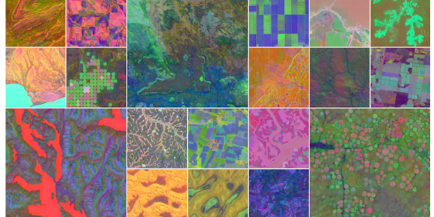
Google DeepMind has announced a new artificial intelligence system, AlphaEarth Foundations, designed to analyze the Earth’s surface by integrating vast amounts of observation data into a unified digital model. The system processes information from multiple sources, including optical satellite images, radar, 3D laser mapping, and climate simulations.
The core technology creates highly compressed digital summaries, or “embedding fields,” for 10×10 meter squares of the planet’s terrestrial land and coastal waters. According to the research paper, this approach reduces error rates by approximately 23.9% compared to existing methods while requiring 16 times less storage space than other tested AI systems. A key technical feature is its support for “continuous time,” allowing it to generate accurate maps for specific date ranges by interpolating data to fill gaps caused by factors like cloud cover.
For the past year, over 50 organizations have been testing the system. In Brazil, the organization MapBiomas is using the technology to monitor agricultural and environmental changes, including deforestation in the Amazon. The Global Ecosystems Atlas initiative is also using it to create a comprehensive resource for mapping the world’s ecosystems to aid conservation efforts.
The system’s “Satellite Embedding dataset,” which contains over 1.4 trillion data footprints per year, is now available through Google Earth Engine. This dataset includes annual snapshots from 2017 through 2024. Google states that the 10-meter resolution is designed for environmental monitoring and cannot capture or identify individual people, faces, or objects.